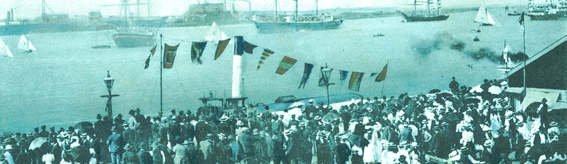
Below is a map of Newcastle with embedded photos. Many of the images along the shoreline no longer exist today. Over time, docks & rowboats have given way to car-parks as Newcastle’s shoreline became filled in!
Tap/click the plus sign for instructions.
Instructions
Tap/click a number to zoom in
2. Tap/click an icon to view the image
3. Tap/click the image to view it full sized
4. Hit the back icon in your browser to return to the map again.
5. To view a gallery of all images, go here.
You can also use your mouse or finger to drag the map around. The icon in the top right hand corner allows you to filter the images of Newcastle – you can choose old images, recent images, or both. The house icon on the left hand side returns the map to where you started, while the square makes the map full screen on your device. Use the circle with cross-hairs to find your location.